CleanZone Method
A Remote Worker's Method for Ranking Places
A remote income untethers you from a commute, then hands you the entire planet as a decision problem. Most people solve it by scrolling: a well-lit café, a rooftop pool, a sunset. Almost none of it tells you what the air is like in January, what the nights sound like, or what's under the floor. There is a duller, faster way, filter first, rank second, fly last.
At a glance
- Location-independence removes the geographic default (job location) but not the decision, it just replaces one option with thousands.
- Set hard constraints first (climate band, air, night noise, radon potential, connectivity). Build a filter.
- A mood board decides nothing.
- A place that photographs well can still sit in a winter inversion layer that traps particulate pollution for weeks — the camera doesn't know that.
- Rank the survivors, then spend one deliberate trip confirming the top candidate. A season of city-hopping on vibes buys less.
- The goal isn't the "best" place on earth. It's a defensible #1 out of a shortlist you can actually reason about.
The freedom that becomes the problem
Tying pay to a desk used to make the location decision for you. Remote work removed that anchor, and what's left underneath it is an unconstrained search: roughly 195 countries, tens of thousands of towns with an airport or a train station within reach, and a search space so large that "where should I live" stops being a question with an answer and starts being a mood. The typical resolution mechanism, a "best digital nomad cities" list, a friend's Instagram grid, a YouTuber's drone shot of a beach at golden hour: isn't really a decision method. It's an aesthetic sample of a handful of places, filtered by whoever posted last, weighted toward whatever looks good in a 15-second clip.
That's not a criticism of wanting nice photos. It's a description of what the method actually optimises for, which is photogenicity in fair weather rather than the twelve months you will actually live through. An infinite map with no filter isn't freedom, it's a search problem with no stopping rule, and it tends to resolve either in paralysis (endless research, no booking) or in a snap decision made on the strength of one good week somewhere.
Why the pretty town can still be the wrong one
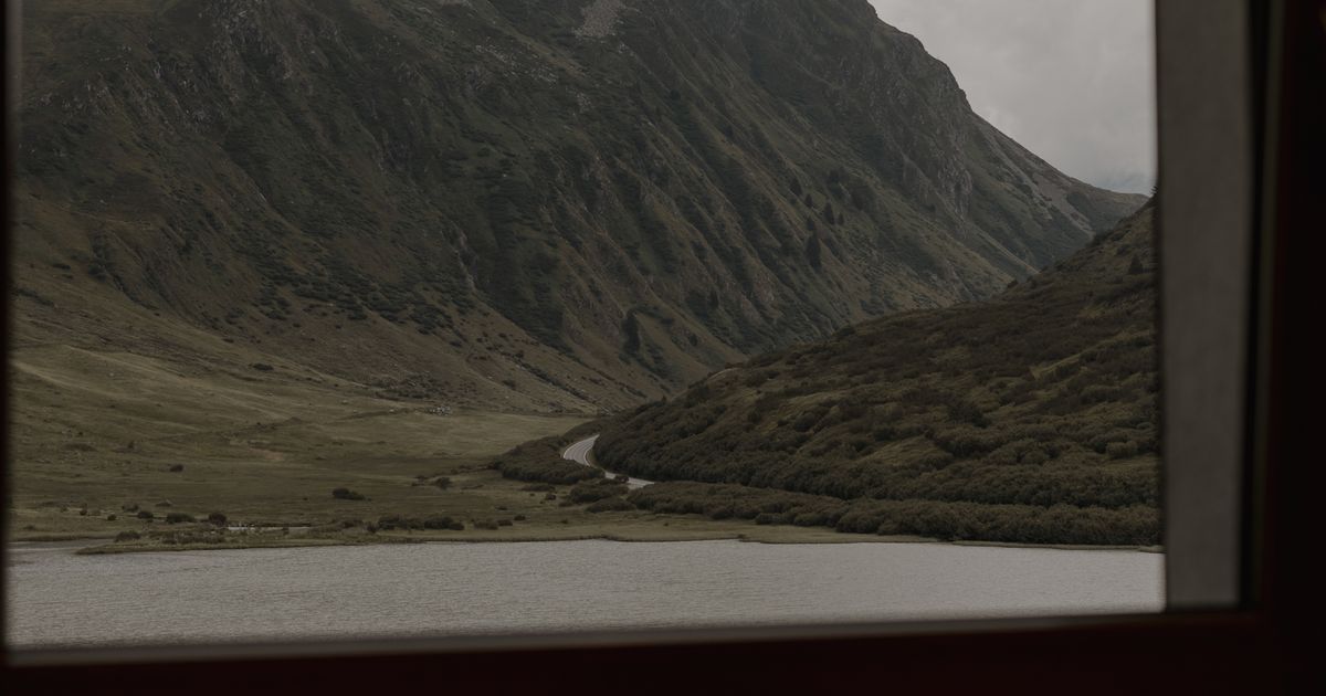
Here's the mechanism that trips people up most often: temperature inversion. Under normal conditions, air near the ground is warmer than the air above it, so it rises, carrying pollutants up and away. In many valley towns and basin cities (the kind that photograph beautifully, ringed by hills or mountains) cold, dense air can pool at ground level under a layer of warmer air sitting on top of it. That warm lid stops the usual vertical mixing. Whatever is being emitted at street level (wood stoves, traffic, local industry) stays put instead of dispersing, and particulate concentrations climb for as long as the inversion holds, sometimes for days at a stretch through the coldest months.
None of that shows up in a summer photo. It shows up as a grey haze sitting in the valley in January, and as an increase in the town's fine-particulate (PM2.5) readings that a scouting trip in July would never catch. It's the same mechanism, geographically, that makes some of the world's most scenic mountain-ringed cities also chronic winter air-quality offenders; the topography that makes the view is the same topography that traps the air. The CleanZone grid exposes this as a measured field (pm25) rather than a seasonal impression, precisely because the two can disagree by a wide margin depending on the month you happened to visit.
Set the constraints before you open a map
The method that avoids both paralysis and the pretty-photo trap is ordinary decision theory, applied to geography: define your hard constraints before you start looking. Defining them mid-search is how they bend. A constraint is something you'd walk away from a place for, full stop. A preference gets weighed later. For a location-independent worker, the recurring ones are:
- Climate band; the broad category you can tolerate through all twelve months. The Köppen-Geiger classification (five principal groups: tropical, arid, temperate, continental, polar, refined into roughly thirty subtypes in the widely used Beck et al. 2018 update) is the standard reference for comparing climate consistently across countries.
- Air quality — the WHO's 2021 Global Air Quality Guidelines set an annual mean guideline of 5 µg/m³ for fine particulate matter (PM2.5), the pollutant most tied to respiratory and cardiovascular harm and the one most affected by the inversion effect above.
- Noise, the WHO's 2018 Environmental Noise Guidelines recommend an average night-time level (Lnight) no higher than 40 dB from road traffic to avoid measurable sleep disturbance. Chronic noise above guideline levels is one of the most under-weighted quality-of-life variables in relocation decisions, because a daytime visit rarely reveals it.
- Radon potential, set by geology, invisible without a test, indifferent to the season you visit. The EU's Euratom Directive 2013/59 sets a national reference level of 300 Bq/m³ for indoor radon; the US EPA's action level is 4 pCi/L (about 148 Bq/m³). It's a slow constraint rather than a dramatic one, but it's a hard one.
- Connectivity, altitude, time zone overlap; the constraints specific to working remotely rather than just living somewhere: whether the infrastructure supports the bandwidth your job needs, whether you tolerate altitude, and how much of your team's working day you'll actually be awake for.
The order of operations matters more than the constraints themselves. Filtering first means every place still on the list already cleared your non-negotiables, so ranking the survivors is a comparison between acceptable options instead of a hunt for the one flawless place. Picking by photo first and rationalising the data afterward does the opposite: it anchors you emotionally before you've screened out the disqualifying ones.
Ranking the survivors
Once a set of places clears every hard constraint, you're no longer choosing between "good" and "bad"; you're choosing between options that are all, by definition, acceptable. That's the point where softer preferences belong: cost of living, community, food, direct flights home, a particular kind of light. Weighting those is genuinely personal, and no dataset should pretend to do it for you. What the filtering step buys you is the confidence that the shortlist you're now enjoying browsing is made of places that wouldn't disqualify themselves on inspection, climate, air, noise and radon fields like pm25, noise, radon, flights and g5_count are there to be checked against a place before it earns a slot on the list, while the answer can still change your mind.
The one trip that actually matters
The scattershot version of remote-work relocation looks like a season of short stays: two weeks here, ten days there, a loose tour through a "best of" list, hoping the right place announces itself. It's an expensive way to gather weak evidence; weather is a snapshot, a rental's noise depends on which week a construction crew showed up, and two weeks rarely spans a full weather pattern, let alone a season.
The alternative isn't "never visit" — untested online data doesn't replace a look at a real street. It's sequencing the visit correctly: filter and rank first, using constraints that don't depend on being there in person, then spend one deliberate trip confirming the #1 candidate specifically, walking the actual neighbourhood, at night, on a weekday, ideally in a shoulder season rather than the postcard month. One well-targeted trip to your top-ranked candidate produces more decision-relevant evidence than five unranked ones, because it's testing a specific hypothesis instead of sampling at random.
Picking by feed
Shortlist assembled from whichever places were posted most, in whichever season the photos were taken. Climate judged by one visible sky. Noise and air invisible in a still image. Radon never enters the frame. Decision made on the strength of a single good afternoon.
Picking by constraint
Shortlist assembled from places that clear stated, non-negotiable thresholds first, climate band, WHO air and noise guidance, EU/EPA radon reference levels, connectivity. Preferences ranked only among survivors. One trip spent confirming the top pick. Discovery already happened at the desk.
Watch for the town that photographs beautifully and chokes every winter. Mountain- or hill-ringed settings are exactly the topography that produces temperature inversions: the same bowl that frames the sunset traps cold, dense air (and whatever's being burned or driven at street level) under a warm lid for days at a time. A single fair-weather visit will never show you this. Only a public PM2.5 record spanning a full winter, or the field itself, will.
The map is infinite; your attention isn't. Spend it confirming one ranked candidate, not scrolling fifty unranked photos.
What the confirmation trip is actually for
If the filtering step did its job, the trip isn't a search, it's a verification. Worth doing deliberately rather than letting it happen to you: stand outside at night away from the tourist centre and listen; check whether a still, cold morning brings a visible haze; ask a long-term resident what the worst month feels like, and not the host; and if radon potential in the area is flagged as elevated, treat that as a note to test the specific building once you've signed a lease, because a walk-through cannot resolve it. None of that replaces the constraint-setting step. It confirms it.
Being able to work from anywhere doesn't require deciding between everywhere. Set the non-negotiables: climate band, pm25, noise, radon, connectivity — filter the map down to a shortlist, rank what survives, and save the travel budget for one trip that confirms your #1 rather than a season spent discovering new candidates.